Product Description
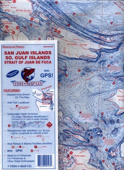
Featuring:10 foot and 5 meter underwater depth contours for easy structure identification, navigational aids identified including buoys, lights, platforms, longitude and latitude, fishing locations including numerous GPS coordinates, boat ramps and marina facilities identified.
Printed on a waterproof, tear resistant plastic. 9"x4" folded, unfolds to 3'x2'.
Made by a fisherman for fishermen and other water enthusiasts!


