Product Description
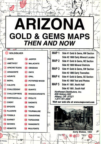
Arizona Goldand Gems:Then and Nowis a package of five maps, measuring 6.5″ x 9.5″ printed on both sides. The very readable historical maps measure 17.5″ x 23″ when unfolded. Maps have been reproduced from authentic documents on file from archival sources — 100 years of reported gold and gems occurrences included; red numbered guide shows 34 gem site locations. This package includes:
Map #1, side 1is of the NW Section.Side 2is a map of 1868 showing early mineral locales
Map #2, side 1is of the NE Section.Side 2is amap of 1869 showing the mineral districts
Map #3, side 1is of the SW Section.Side 2is a map of 1886 showing early town sites
Map #4, side 1is ofthe SE section.Side 2is an 1868 mapwith text and photos
Map #5is a map of 1881 with the north half onside1and the south half onside 2


