Product Description
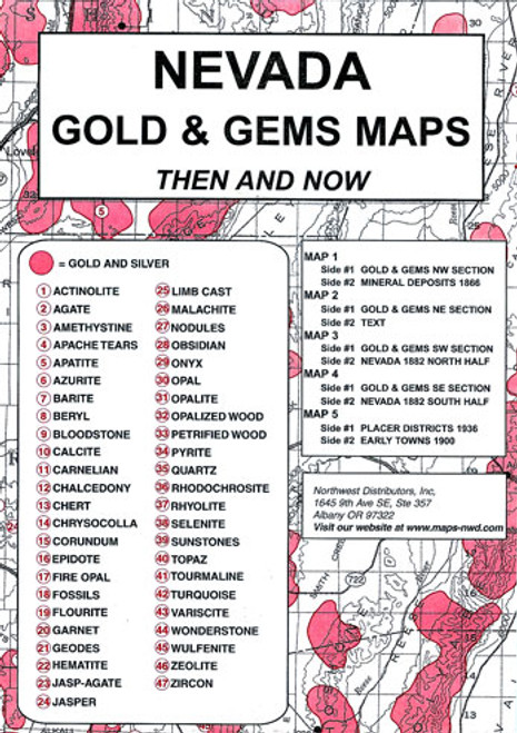
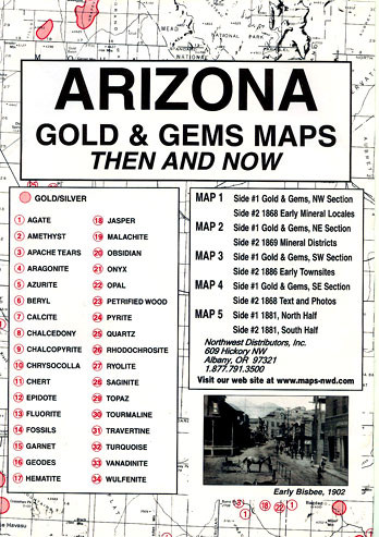
CaliforniaGold & Gems Maps:Then and Now (Southern Edition)is apackage, measuring 6.5″ x 9.5″, which containsfive mapsprinted on both sides. The very readable historical maps measure 17.5″ x 23″ when unfolded. This package includes:
Map #1, side 1is of the NW Section.Side 2is a map of gold districts, eastern section
Map #2, side 1is of theNE Section.Side 2is a map of gold districts, western section
Map #3, side 1is of the SW Section.Side 2is a map of 1910 mineral deposits in the western section
Map #4, side 1is of the SE section.Side 2is a map of 1910 mineral deposits, eastern section
Map #5, side 1is an 1882 map of Inyo County.Side 2shows miscellaneous mining districts and photos


