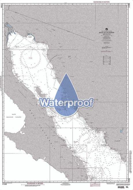
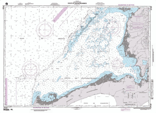
Product Description
An alternative to large, full scale charts which may too big to manage, especially on the water in a small vessel, our booklet charts are an exact replica of the full scale version of the corresponding NGA chart. Printed in smaller scale and offered in a booklet form, these booklet charts do NOT satisfy carriage requirements, but are used for planning and reference. Printed on high-quality durable paper with stapled (saddle-stitched) binding, handy 8.5 x 11 inch size, page count varies depending on the chart.A Nautical Chart is a graphic portrayal of the marine environment showing the nature and form of the coast, the general configuration of the sea bottom including water depths, locations of dangers to navigation, locations and characteristics of man-made aids to navigation and other features useful to the mariner. The Nautical Chart is essential for safe navigation. In conjunction with supplemental navigational aids, it is used by the mariner to lay out courses and navigate ships by the shortest and most economically safe route. The importance of Nautical charts is evident with over 98% of the nation's cargo carried by waterborne transportation. These NGA booklet charts are an exclusive product from Paradise Cay Publications, generated from the authentic NGA charts.


