Product Description
Printed on high quality waterproof and tear-resistant material by NOAA Chart Agent Paradise Cay Publications.Always printed on demand using the most recent NOAA data Prepared to be display quality.
NGA charts are not updated, mariner is responsible for updating these charts using NTM - Notice to Mariners.
Shipped rolled in a cardboard tube Small Format charts DO NOT satisfy CARRIAGE REQUIREMENTS, and are not recommended for navigation.
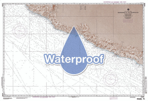
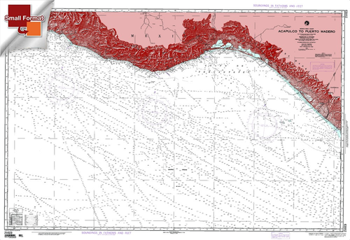
The chart you are viewing is a NGA standard nautical chart. The National Geospatial-Intelligence Agency (NGA) has partnered with Paradise Cay Publications to provide commercial and recreational mariners with a good source of nautical chart coverage for international waters. These charts are "printed on demand" but do not contain the latest notice to mariner (NTM) corrections. It is the mariner's responsibility that the necessary chart corrections be applied to ensure accuracy and safety of life at sea (SOLAS).These charts are printed by Paradise Cay Publications using proprietary methods and materials. These printing methods are certified by NOAA and the U.S. Coast Guard and meet their standards for carriage on commercial vessels. Ruby & Rudy's Books are the exclusive seller of this brand of nautical charts. Other sellers using this listing are not authorized to sell this brand of chart and may be offering an inferior product. Our small Format charts are printed so that the small dimension of the chart is printed approximately 21", the other dimension is printed proportionally. Because our Small Format charts are not full scale they are not recommended for navigation and are not approved for carriage. Our Small Format charts are printed on a material which is completely waterproof, durable and tear resistant. Our waterproof Small Format charts are shipped rolled, never folded and we do not recommend folding our waterproof chart products.
The Navigational Chart is one of the most fundamental tools available to the mariner. A Nautical Chart is a graphic portrayal of the marine environment showing the nature and form of the coast, the general configuration of the sea bottom including water depths, locations of dangers to navigation, locations and characteristics of man-made aids to navigation and other features useful to the mariner. The Nautical Chart is essential for safe navigation. In conjunction with supplemental navigational aids, it is used by the mariner to lay out courses and navigate ships by the shortest and most economically safe route. The importance of Nautical charts is evident with over 98% of the nationÂ’s cargo carried by waterborne transportation.


