Product Description
- Always printed on-demand using the current NOAA data
- Traditional and Waterproof formats meetUSCG carriagerequirements for commercial vessels (Small Format do not meet this requirement)
- Printed by NOAA certified chart agent Paradise Cay Publications
- Excellent Quality
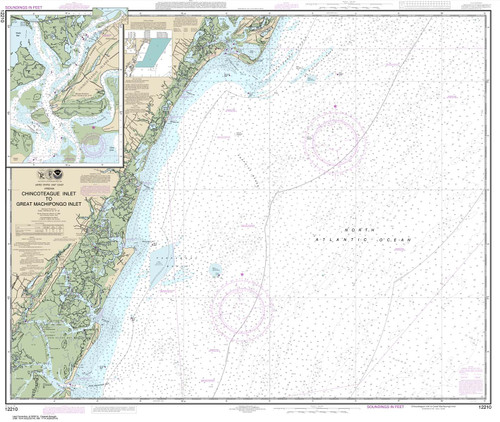
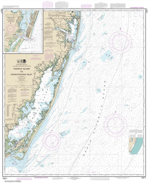
This chart covers the following regions: Mid-Atlantic, Chincoteague Inlet to Shark River, Chesapeake Bay, Portsmouth to Hog Island, Chincoteague Inlet to Shark River, Chesapeake Bay, Portsmouth to Hog Island .


