Product Description
- Printed on high quality waterproof, tear resistant material. Prepared to be display quality
- Always printed on-demand using the current NOAA data
- Meets USCG carriage requirements for commercial vessels
- Printed by NOAA certified chart agent Paradise Cay Publications
- Excellent Quality
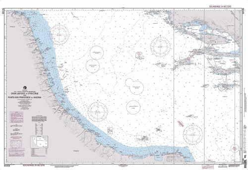
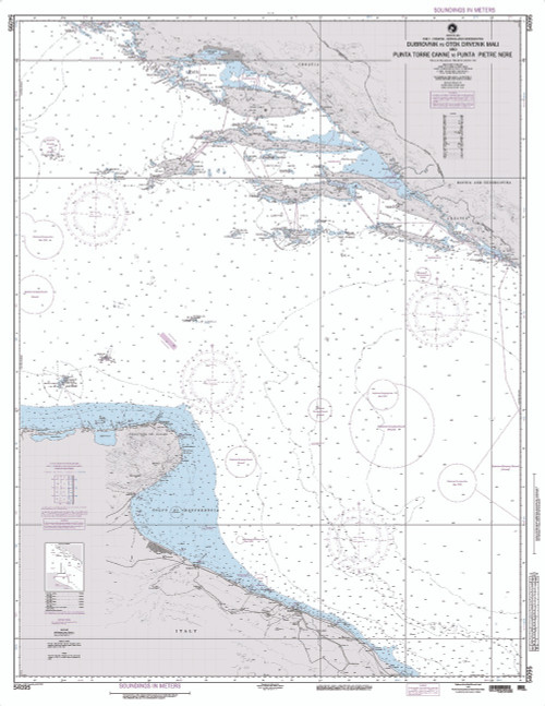
This nautical chart covers the region of: adriatic sea, mediterranean, italy, croatia, bosnia and herzegovina,
The Navigational Chart is one of the most fundamental tools available to the mariner. A Nautical Chart is a graphic portrayal of the marine environment showing the nature and form of the coast, the general configuration of the sea bottom including water depths, locations of dangers to navigation, locations and characteristics of man-made aids to navigation and other features useful to the mariner. The Nautical Chart is essential for safe navigation. In conjunction with supplemental navigational aids, it is used by the mariner to lay out courses and navigate ships by the shortest and most economically safe route. The importance of Nautical charts is evident with over 98% of the nationÂ’s cargo carried by waterborne transportation.


